Deakin University is training its own army of citizen scientists to monitor the effects of climate change on Victorian coastlines.
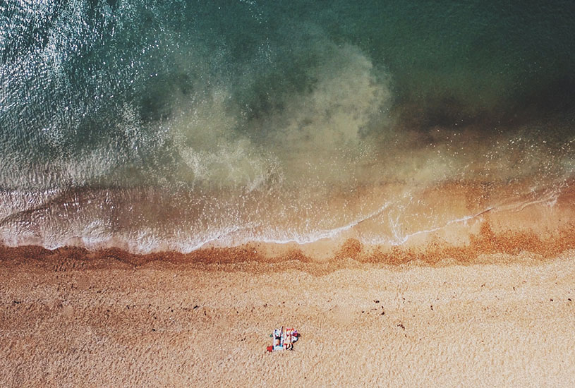
In their efforts to map coastline, marine researchers of the past had to undertake painstaking and tedious work in often treacherous conditions. Obtaining a clear view of reef structures through aerial surveys also posed challenges, with images from aircraft and satellite proving expensive, time consuming and of low resolution.
Drone technology has come to the rescue, however, and ushered in a new era of coastal research. In 2015, Deakin’s Marine Mapping Group, led by Associate Professor Daniel Ierodiaconou from the School of Life and Environmental Sciences, saw the potential of advancements in drone technology to transform the research process. The decision has seen the team become a national leader in coastal research and management.
Integral to the Victorian Government’s $3 million Victorian Coastal Monitoring Program (VCMP), Deakin is now teaching conservation groups how to collect data with the latest in unmanned aerial vehicles (UAVs) or drones.
Coastal groups are mapping two-kilometre stretches of coastline every six weeks. Deakin currently provides the groups with the technology required, including drones and some smart target technology developed in Australia that allows precise height estimates to be made that allow volume changes of sediments to be measured.
[testimonial_text]We have also teamed up with Australian company Propeller Aero to provide a web platform for our citizens and managers that enables them, with minimal training, to interact with the drone data to monitor change.[/testimonial_text]
[testimonial_picture name=”Daniel Ierodiaconou” details=”Associate Professor, School of Life and Environmental Sciences”]
 [/testimonial_picture]
Compared to previous research conducted on-foot, the UAVs have launched ecological research into new possibilities, capturing to-the-centimetre, high-resolution graphics and covering vast distances.
The four-year project, led by the Department of Environment, Land, Water and Planning (DELWP), involves data collection from both Deakin and the University of Melbourne to monitor the impact of wave erosion and changes to reef structures.
Data collection is currently being undertaken in priority areas deemed to have highly erodible coastline and at risk of sea level rises or storm surges in the future.
Deakin’s Chief Remote Pilot and Associate Research Fellow Dr Blake Allan, employed by the VCMP, is assisting coastal groups located from Portland to Seaspray to gain the necessary certifications to operate the drones.
[testimonial_text]The UAV allows for a census, which means that we can collect data over the whole area, such as monitoring sand erosion along a beach or habitat changes on intertidal reefs.[/testimonial_text]
[testimonial_picture name=”Dr Blake Allan” details=”Deakin Chief Remote Pilot and Associate Research Fellow”]
 [/testimonial_picture]
In July 2018, Deakin performed drone flights over storm damaged areas of Apollo Bay, Victoria, to discover that over 5000 cubic metres of sand was lost across 750 metres of foreshore. The footage collected was compared with previous drone surveillance and assisted DELWP with the replenishment task. This involved the movement of more than 16,000 cubic metres of sand from Apollo Bay Harbour to the beach.
Advances in digital technology have made drone technology user-friendly. Drones are programmed with predetermined flight paths to ensure that the sampling can be repeatable, which is important when monitoring changes through time.
Deakin plans to expand its use of drones for both conservation and commercial applications. In Trimester 3, 2018, it will be one of the first universities in Australia to offer a unit where students not only learn the basic operation of drones, but also the skills involved with data acquisition, processing and analysis. The week-long course, supported by self-paced Cloud resources, will be held at Deakin University’s Warrnambool campus from November 26-30.
The Landscape Drones unit is offered in November (Trimester 3). Current students must apply via StudentConnect. Applicants for single-unit/non-award subject enrolment are encouraged to apply through the Deakin Applicant Portal. The closing date for Trimester 3 enrolment is Sunday 18 November 2018.
By Brett Barfoot, freelance journalist and copywriter.
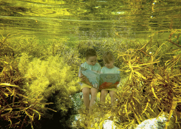
Main Photograph: Fingal Beach
Published by Deakin Research on 14 September 2018